Updates to the Southwest Valley Community Plans | About

Southwest Valley Plans

The Los Angeles City Planning Department is in the process of updating its 35 Community Plans. The plans constitute the Land Use Element of the General Plan, the long-range planning document that presents the City’s vision for the future of its neighborhoods. The Department incorporates input from the community into its policies and programs, which will guide development and growth in Los Angeles's neighborhoods for years to come.

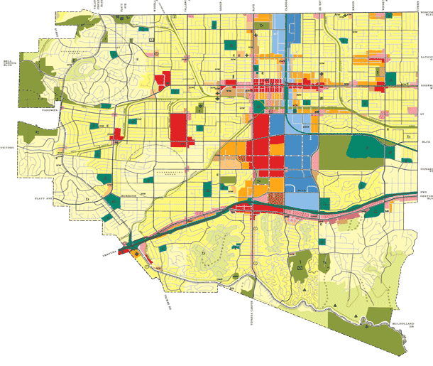
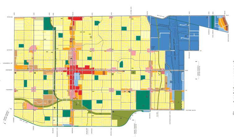
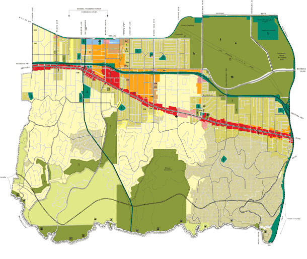
As part of this process, the Department is concurrently updating three plans: Canoga Park – Winnetka – Woodland Hills – West Hills, Encino – Tarzana, and Reseda – West Van Nuys - Lake Balboa. These three documents are the Southwest Valley Plans.

The Department’s aim is to engage the community around two key goals: planning for projected population and employment growth in the Southwest Valley over the next 25 years in an inclusive, equitable, sustainable and healthy manner, and applying the City’s new Zoning Code structure to the region. Community participation in the plan update will be vital for ensuring that the City’s land use policy accurately reflects the community’s vision for the Southwest Valley.

Outreach Timeline

ddsf

The Canoga Park-Winnetka-Woodland Hills-West Hills Community Plan Area is about 25 miles northwest of downtown Los Angeles. Its boundaries are, roughly, Roscoe Boulevard to the north, Corbin Avenue to the east, Mulholland Drive to the south, and the city limits to the west. It borders the Community Plan Areas of Chatsworth-Porter Ranch to the north, Encino – Tarzana and Reseda –West Van Nuys to the east, and Brentwood – Pacific Palisades to the south.

The plan area includes four communities:

  • Canoga Park is located in the flats of the southwestern San Fernando Valley, with Roscoe Boulevard to the north, De Soto Avenue to the east, Victory Boulevard to the south, and Shoup Avenue to the west. The 1910s town of Owensmouth is located in today’s Canoga Park.
     
  • Winnetka, also in the flats of the southwestern San Fernando Valley, borders Canoga Park to the east. Its boundaries are Roscoe Boulevard to the north, Victory Boulevard to the south, Corbin Avenue to the east, and De Soto Avenue to the west. Winnetka is the former location of the Weeks Poultry Colony, a utopian agricultural community that was active between 1923 and 1934.
     
  • Woodland Hills extends north and south of U.S. Route 101 (the Ventura Freeway). Its southern boundary in the Santa Monica Mountains roughly coincides with Mulholland Drive. Victory Boulevard marks its northern limit, Corbin Avenue its eastern limit. It is bordered to the southwest and west by the cities of Calabasas and Hidden Hills. The 1920s town of Girard was located in Woodland Hills, in the hills south of Ventura Boulevard.
     
  • West Hills is located in the westernmost reaches of the south San Fernando Valley, extending to Bell Canyon and El Escorpión Park in the Simi Hills. West Hills is generally located west of Shoup Avenue, north of Victory Boulevard, and south of Roscoe Boulevard. The western boundary is irregular and extends slightly west of Valley Circle Boulevard.

Please note that Community Plan boundaries do not necessarily align with Neighborhood Council boundaries. In the Southwest Valley Plans, the following neighborhoods span multiple Community Plan Areas: Canoga Park, Encino, Lake Balboa, North Hills East, Northridge South, Tarzana, West Hills, and Winnetka.

reseda

The Reseda-West Van Nuys community plan area is located near the center of the San Fernando Valley, about 23 miles northwest of downtown Los Angeles. Its boundaries are, roughly, Roscoe Boulevard to the north, Sepulveda to the east (along northern border), Valjean to the east (from Saticoy to southern border), ​Victory to the south (between Balboa & Valjean), Oxnard to the south (between Corbin & Balboa, and Corbin Avenue to the west, .  

The plan area includes two communities: 
 

  • Reseda makes up a large portion of the plan area, between Roscoe Boulevard, Victory Boulevard, Corbin Avenue and White Oak Avenue. It is bordered by Lake Balboa to the east and Winnetka to the west.
     
  • Lake Balboa occupies roughly the center of the plan area, between Roscoe Boulevard, Victory Boulevard and White Oak Avenue, just west of the Van Nuys Airport. The area occupied by the community of Lake Balboa was originally part of Van Nuys; it was officially renamed in 2007. 


Please note that Community Plan boundaries do not necessarily align with Neighborhood Council boundaries. In the Southwest Valley Plans, the following neighborhoods span multiple Community Plan areas: Canoga Park, Encino,  Lake Balboa, North Hills East, Northridge South, Tarzana, West Hills, and Winnetka. ​

encino

The Encino-Tarzana  community plan area is located in the south San Fernando Valley, just north of the Santa Monica Mountains. Its boundaries are, roughly, Oxnard Street/Metro Orange Line to the north, Interstate 405 (also known as the San Diego Freeway) to the east, Mulholland Drive to the south, and Corbin Avenue to the west. It borders the community plan area of Reseda-West Van Nuys to the north, Sherman Oaks-Studio City-Toluca Lake-Cahuenga Pass to the east, Brentwood-Pacific Palisades to the south, and Canoga Park- Winnetka-Woodland Hills-West Hills to the west.

The plan area includes two communities:

  • Encino  makes up about half of the plan area, with boundaries south of the Sepulveda Basin and generally east of Lindley Avenue. Encino has two distinct areas: the flats north of Ventura Boulevard, and the hilly areas to the south of the Boulevard. Some of the neighborhoods in the southeast, adjacent to the Sepulveda Pass through the Santa Monica Mountains, have historically identified as part of the Sherman Oaks neighborhood.
     
  • Tarzana  makes up the western half of the plan area, with boundaries generally west of Lindley Avenue. Similar to Encino, Tarzana features two distinct areas: the flats to the north of Ventura Boulevard and the hills to the south.

    The plan area also includes the  Sepulveda Basin , which is a flood control basin and public recreation area created in the 1940s.
     

Please note that Community Plan boundaries do not necessarily align with Neighborhood Council boundaries. In the Southwest Valley Plans, the following neighborhoods span multiple Community Plan areas: Canoga Park, Encino, Lake Balboa, North Hills East, Northridge South, Tarzana, West Hills, and Winnetka.