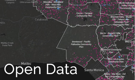
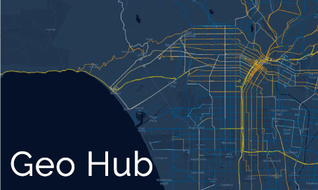
The City of Los Angeles has two sites dedicated to sharing real-time data: the Open Data Portal and GeoHub. Offering direct access to live and continuously updated data, these sites drive innovation and improve the quality of City services. They also enable the creation of interactive applications using current mapping technology.
Open Data


Open Data Portal
The Open Data Portal is the City’s repository for data. The site was created to support the free flow of information and contribute to the democratic process through nonconventional forms of community engagement such as data-sharing.
GeoHub
GeoHub is a public platform developed to improve communications across citywide departments and agencies. Using geospatial data, GeoHub makes it possible for City officials and the public at large to map datasets about health, safety, transportation, and other topics that inform local decision making.