Venice Local Coastal Program
Welcome
The Local Coastal Program (LCP)
The Local Coastal Program is a policy and regulatory document required by the California Coastal Act that establishes land use, development, natural resource protection, coastal access, and public recreation policies for the Venice Coastal Zone.
In order to comply with the Coastal Act, Los Angeles City Planning is undertaking a multi-year effort, with public input, to prepare, adopt, and certify the Venice LCP as the coastal planning tool for the area. Once the City Council has approved the LCP and the California Coastal Commission has certified it, City Planning will implement the LCP. This page provides background information, project updates, and resources, and shares opportunities for getting involved.
Overview
Certifying the Venice Local Coastal Program
Certifying the Venice Local Coastal Program will require updating the previously certified Venice Coastal Zone Land Use Plan and preparing a Venice Coastal Zone Implementation Plan. The Implementation Plan will, in part, include an updated Venice Coastal Zone Specific Plan for certification.
The Land Use Plan (LUP) and the Implementation Plan (IP) make up the Local Coastal Program (LCP). At present, the City of Los Angeles has a certified Land Use Plan for the Venice coastal segment, but the Implementation Plan has not been certified. In order to achieve a certified LCP, both components of the plan need to be adopted locally as well as approved and certified by the Coastal Commission.
The California Coastal Zone is defined in Section 30103 of the Coastal Act. The Coastal Zone generally extends inland 1,000 yards from the mean high tide line of the sea. (Click here to view the Venice Coastal Zone.)
Coastal Act Of 1976
The Coastal Act of 1976 ushered in an era of significant new land use planning policies in California. The Act recognized the need to rely on local government and its local land use planning authority. By relying on local government, the Coastal Act aimed "to achieve maximum responsiveness to local conditions, accountability, and public accessibility."
Implementation of Coastal Act policies is accomplished primarily through the preparation of Local Coastal Programs (LCPs). The Coastal Act requires each coastal community to prepare a Local Coastal Program (LCP) in order to establish the kind, location, and intensity of land and water uses appropriate to its portion of the coastal zone.
While each LCP reflects unique characteristics of individual coastal communities, regional and statewide interests must also be addressed. The purpose of certifying the Venice LCP is to be in compliance with State legislation, create greater transparency and predictability in the coastal development review process, and account for potential impacts of sea level rise and climate change.
California Coastal Commission (CCC)
Established by voter initiative in 1972 (through Proposition 20), the California Coastal Commission (CCC) was made permanent by the Legislature through adoption of the California Coastal Act of 1976. The CCC is responsible for certifying LCPs. In partnership with coastal cities and counties, the CCC plans and regulates the use of land and water in the coastal zone.
The CCC’s mission statement affirms its commitment “to protecting and enhancing California’s coast and ocean for present and future generations.”
LCP Planning Grants
With support from the California Coastal Commission Local Coastal Program Grant Project, the City of Los Angeles is undertaking the preparation of the Venice LCP. Financial assistance has been, and will continue to be, a critical way to assist local governments in their coastal planning.
City Planning
The Venice Local Coastal Program (LCP) will consist of two plans prepared by the City Planning for certification by the Coastal Commission. The content of the LCP plans will be derived from community input, current land use and zoning, and policy guidance from the Coastal Commission related to the Coastal Act. The LCP will place special emphasis on planning for sea level rise and climate change.
City Planning's staff will design and host public outreach events, technical advisory meetings, and briefings for relevant City Council Districts, Committees of Council, and the Mayor’s Office. The overall approach to preparing the LCP will include regional coordination with other municipalities and local institutions, such as the University of Southern California Sea Grant Program, among others.
Certification Process
Some of the policies and actions described in the 2001 Venice Land Use Plan and 2004 Venice Coastal Zone Specific Plan are still relevant today and will be carried forward. New policies are necessary to address emerging issues, such as sea level rise and climate change. In addition to incorporating relevant existing policies from recently updated General Plan Elements, such as the Circulation Element, the policies will incorporate all mandatory Coastal Act sections.
FAQ
The menus below address the most common questions associated with sea level rise in Venice, California. The responses are brief but provide resources for further in-depth reading.
How can I get involved in the process?
Venice can improve its resilience by actively participating in the LCP process and helping to shape the plan. Remaining engaged and connected in the planning process after the adoption of the LCP will ensure the plan is implemented accordingly. Staying connected to local academic research centers is a great way to incorporate the newest information and science into implementing the plan and adapting to sea level rise. Please refer to our Get Involved and Resources pages for more information.
Who can I contact for more information?
Reach the Venice LCP Team by email (venicelcp@lacity.org) or telephone:
Laura MacPherson (213) 978-1187
Why does Venice need a Local Coastal Program?
The Coastal Act requires coastal communities to prepare an LCP. At present, Venice does not have a certified Local Coastal Program (LCP). While the Venice Coastal Zone Land Use Plan (LUP) was certified in 2001, the Local Implementation Plan (LIP) was not certified in 2004. Both are ready for updating. Much has changed in the past 15 years. Coastal zones yet to be certified, as well as many LCPs certified from the 1980s through early 2000s, are outdated and would benefit from updates that reflect changed conditions, new information and knowledge, and new programs and policies – especially those related to climate change and Sea Level Rise. Updated LCPs provide stronger coastal resource protection in light of current environmental conditions and create more predictability and transparency in development. A certified Venice LCP will better respond to today's physical environment and future policy goals.
What are the components of a Local Coastal Program (LCP)?
Used by local governments, in partnership with the California Coastal Commission, LCPs are basic planning tools that guide development in the coastal zone. In order to establish the kind, location, and intensity of land and water uses appropriate to its portion of the coastal zone, an LCP has two components: the Land Use Plan (LUP) and the Local Implementation Plan (LIP). A Land Use Plan details the land uses which are permissible and specifies the general policies which apply to each land use. The Implementation Plan is responsible for implementing the policies contained in the Land Use Plan through various zoning regulations and development standards.
What does a Certified Local Coastal Program accomplish?
After the LCP has been certified by the California Coastal Commission, the Commission’s coastal permitting authority over most new development is transferred to the local government. The local government then applies the requirements of the LCP in reviewing proposed projects and developments. However, the Commission retains coastal permit jurisdiction over development proposed on land adjacent to public waterways like tidelands and submerged lands, as well as public trust lands; the Commission also acts on appeals from certain local government coastal permit decisions. Furthermore, the Commission reviews and approves any amendments to previously certified Local Coastal Programs.
How does the Venice LCP get certified?
Certifying the Venice Local Coastal Program will require updating the Venice Coastal Zone Land Use Plan and preparing the Venice Coastal Zone Specific Plan, which makes up the Local Implementation Plan, for certification. In order to have a certified LCP, both components of the plan need to be adopted locally as well as certified by the Coastal Commission.
Why does the LCP have to address sea level rise?
The California Coastal Act requires coastal communities to prepare a Local Coastal Program (LCP), which must address potential hazards associated with coastal areas and establish policies and implementation measures to avoid and/or reduce coastal hazards. Sea level rise is a coastal hazard scientific research has linked to climate change. Because the State of California and City of Los Angeles have made it a priority to prepare for climate change, the Venice LCP must include a section on coastal hazards related to sea level rise along with policies and implementation measures to avoid and/or reduce risks based on a Venice-specific sea level rise vulnerability assessment.
Sea level rise and climate change present challenges of a new magnitude. Sea level rise has the potential to significantly threaten many coastal resources, including shoreline development, coastal beach access and recreation, natural habitats, and cultural and scenic resources, all of which are subject to specific protections and regulations in the California Coastal Act. Sea level rise in Venice also has the potential to threaten critical infrastructure, transportation systems, canal and oceanfront communities, and public facilities, which could affect safety, health, and economic and environmental sustainability.
What is a Sea Level Rise Vulnerability Assessment?
An important component of sea level rise adaptation planning is preparation of a vulnerability assessment. The main steps in a vulnerability assessment include the following:
- Determining the range of projections relevant to the LCP planning area/segment
- Identifying potential physical sea level rise impacts in the LCP planning area/segment
- Assessing potential risks from sea level rise to coastal resources and development
How does the LCP sea level rise planning differ from FEMA Flood Risk Mapping?
The Federal Emergency Management Agency (FEMA) performs Risk Mapping, Assessment, and Planning (Risk MAP). Risk MAP is designed to help identify flood risk and promote informed planning and development practices on a nationwide level. FEMA maps community-wide flood risks on flood maps called Flood Insurance Rate Maps (FIRMs), which provide detail about different flood hazard zones but do not incorporate or address anticipated sea level rise. FEMA is in the process of updating the FIRMs for Venice and has released preliminary revised FIRMs to the public, which are expected to be adopted in 2018. The LCP sea level rise planning is developed at the local government level and is a comprehensive local plan to adapt to sea level rise unique to the Venice Coastal Zone.
How will input from the community be used in sea level rise planning locally?
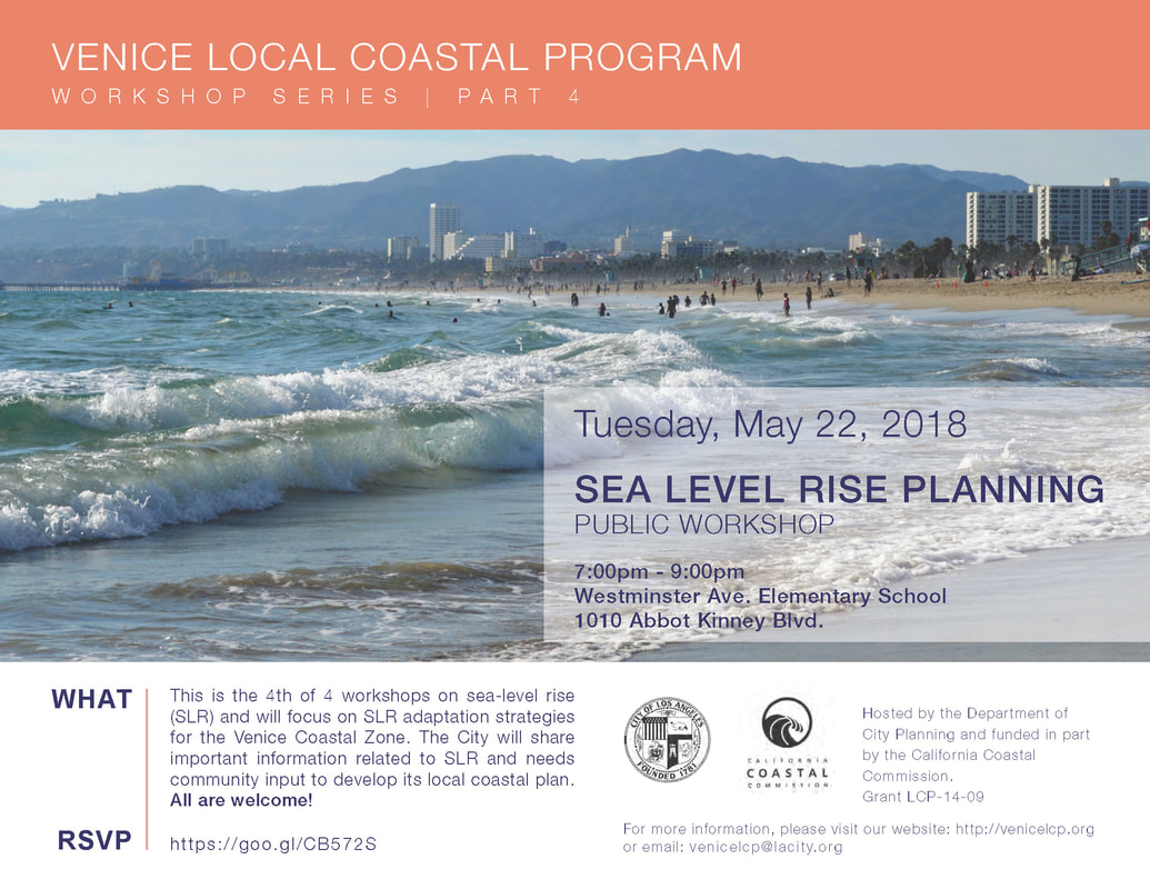
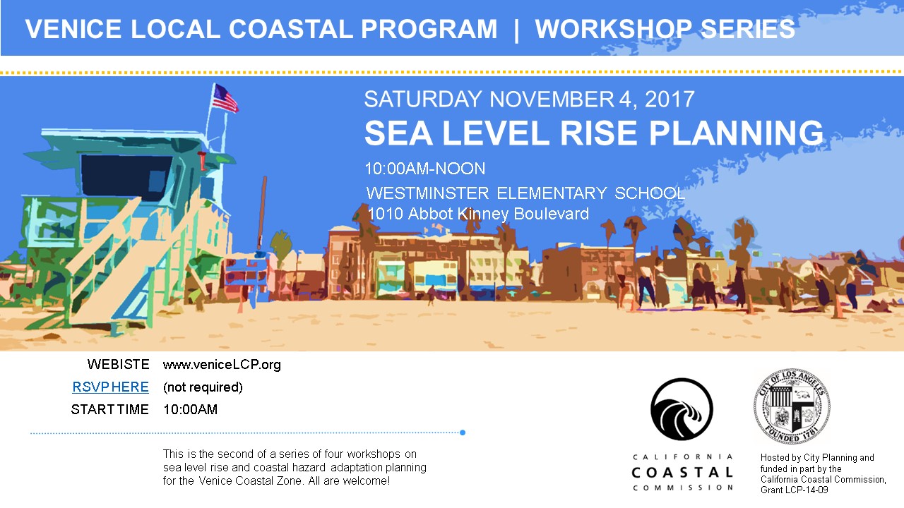
Community input is critical to ensure that sea level rise planning incorporates varied values, specific needs, and diverse ideas, tailoring a sea level rise plan that works for everyone who lives in and visits Venice. The plan must be uniquely tailored in order to ensure for its implementation. The City hosted four Sea Level Rise Workshops between 2016 and 2018 and completed the Venice Sea Level Rise Vulnerability Assessment in 2018.
Where can I find information about sea level rise predictions and associated coastal hazards?
- Regional AdaptLA: Coastal Impacts Planning in the Los Angeles Region
- UCLA Center for Climate Science
- USC Climate Change Science and Adaptation Planning
- Cal Adapt
- California Climate Adaptation Strategy
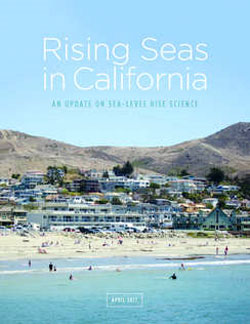
- Rising Seas in California, April 2017 report
- The National Oceanic and Atmospheric Administration (NOAA) Office for Coastal Management California State Program
- The United States Geological Survey (USGS) Pacific Coastal and Marine Science Center
- Our Coast, Our Future (OCOF)
- California Coastal Commission Sea Level Rise: Vulnerability & Adaptation
- Venice Coastal Zone Sea Level Rise (SLR) Vulnerability Assessment
How certain are the predictions?
Coastal California is already experiencing the early impacts of rising sea levels, including more extensive coastal flooding during storms, periodic tidal flooding, and increased coastal erosion. Sea level rise science is constantly improving, becoming more fine-tuned and accommodating new information and technological innovation. While specific impacts and timelines are always being refined, City Planning will use the best available science to plan for and adapt to sea level rise in Venice, consistent with state guidance.
The predictions show that significant flooding and tidal inundation won’t happen in the short term. Why does adaptation need to be established now?
While mid- and long-term increases in sea level rise will undoubtedly cause significant flooding and tidal inundation, the short-term increases in sea level rise are expected to become the driver of the strongest impacts to infrastructure and coastal development in California. Short-term processes, including Pacific Basin climate fluctuations (Pacific Decadal Oscillation, El Niño Southern Oscillation, and North Pacific Gyre Oscillation), King tides (perigean high tides), seasonal cycles, and winter storms, will produce significantly higher ocean water levels along the California coast.
These short-term processes, combined with sea level rise and storm events, will present significant risks. Anticipating and planning for coastal hazards related to sea level rise now can help avoid or reduce the extent and severity of any damages or impacts related to sea level rise Venice may experience in the future.
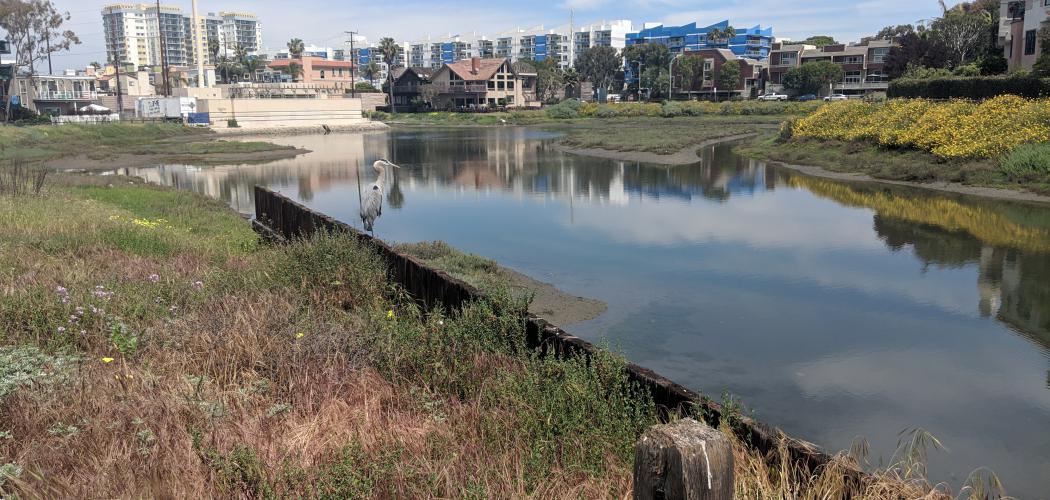
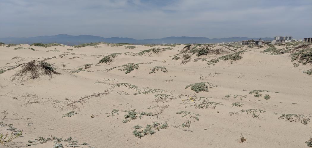
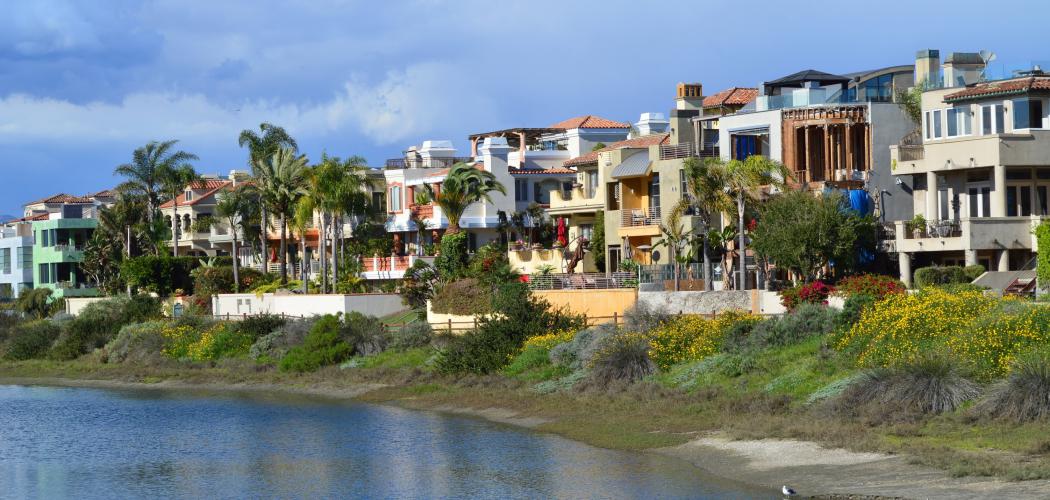
Additionally, Venice has many unique features, such as the beach area and canal system, that are particularly vulnerable to sea level rise already. The Venice Sea Level Rise Vulnerability Assessment details Venice’s unique sensitivities to sea level rise and provides a basis for the development of polices intended to help the City adapt to coastal hazards related to sea level rise.
What is the difference between tidal inundation and flooding?
The terms “flooding” and “tidal inundation” describe two important effects of sea level rise. “Flooding” refers to the process of dry areas becoming wet temporarily, either periodically or episodically. “Tidal inundation” refers to the process of a dry area being permanently drowned or submerged by water.
Who will pay for sea level rise adaptation projects?
While CCC contributes to the planning aspects of sea level rise, the cost of adaptation projects and who will pay for them are topics that need to be discussed over the course of developing the LCP. These discussions must consider how to incorporate extensive feedback in order to develop the right equitable approach. Private property owners will need to implement some measures through the land use development process. Government agencies may fund other adaptation measures that have community-wide benefits.
As an example of how a California community is financing sea level rise adaptation, in 2016, San Francisco Bay voters passed Measure AA with 69% of the vote, funding sea level rise adaptation measures through a $12 per year parcel tax over 20 years. Los Angeles will need to develop its own local means of financing adaptation projects.
City Planning Releases Westside Community Plans StoryMap
Draft Land Use StoryMap Now Available for the Venice Community Plan Area - Including Venice Coastal Zone
The Westside Community Plans Update team has released the 2024 Draft General Plan Land Use StoryMap!
What does this mean for the Venice Coastal Zone?
This StoryMap showcases the draft General Plan Land Uses that address issues such as housing, transportation, climate change, and equity across the westside region - including the Venice Coastal Zone, which lies entirely within the Venice Community Plan Area. In addition to the Venice Community Plan, the StoryMap includes draft Land Uses and zoning metrics for the Palms - Mar Vista - Del Rey, Westchester - Playa Del Rey, and West LA Community Plan Areas.
The interactive map highlights the land use and zoning regulations, such as height, FAR, and density, that are permitted at a parcel level. The Storymap reflects a wide range of stakeholder input received through outreach meetings held virtually and in person, as well as through received written comments and feedback from the Westside Community Planning Advisory Group (WCPAG).
To learn more about the Westside Community Plan Updates please visit the project website.
Reports
The parking utilization and transportation management strategies report, conducted by Fehr & Peers, evaluated existing conditions and determined short- and long-term recommendations to improve parking in the Venice Coastal Zone. Current efforts to update the Venice Local Coastal Program will be informed, in part, by the information presented in this parking study. The recommendations of this study were proposed with consideration to the California Coastal Act.
Venice Coastal Zone Sea Level Rise (SLR) Vulnerability Assessment by Moffat & Nichol
This vulnerability assessment presents a Venice-specific sea level rise (SLR) analysis to support an update to the City’s Local Coastal Program in the Venice Coastal Zone. The assessment evaluates the degree to which important community assets are susceptible to the adverse effects of projected SLR, the most likely cause of the impact, and the components of each asset’s vulnerability. The findings of this study will inform policy and adaptation efforts for the Venice area to be incorporated into an updated Local Coastal Program (LCP).
Venice Plans
The Venice Coastal Zone Land Use Plan (LUP) contains written policies that provide direction for decision-makers, property owners, and the public regarding the types and intensities of land uses that are most suited to each coastal area.
The Venice Coastal Zone Specific Plan (VSP) is the City's blueprint for use, intensity and density of development in the Venice Coastal Zone. The VSP was established in 1999 (Ordinance No. 172,897) and was substantially revised in 2004 (Ordinance 175,693). The purposes of the Venice Coastal Specific Plan (VSP) are outlined in Section 3 of the VSP.
The Oxford Triangle Specific Plan assures that the commercial uses and mixed-use development in the area identified as the Oxford Triangle maintains consistency with the Venice Community Plan.
Coastal Transportation Corridor Specific Plan
The intent of the Coastal Transportation Corridor Specific Plan (CTCSP) is to provide a funding mechanism for transportation improvements within the Specific Plan area to accommodate and mitigate future development.
Lincoln Boulevard Community Design Overlay (CDO) District
The Lincoln Boulevard Community Design Overlay (CDO) District provides guidelines and standards for development projects on properties fronting Lincoln Boulevard in Venice.
Community Plans guide the physical development of neighborhoods by establishing goals and policies for land use. The Land Use Element is one of the state-required elements of a City’s General Plan. While the General Plan sets out a long-range vision for and guide to future development, Los Angeles’s 35 Community Plans provide specific, neighborhood-level detail, relevant policies, and implementation strategies necessary to achieve the General Plan objectives. (The Venice Coastal Zone is within the Venice Community Plan area.)
Relevant Plans and Policy Documents
The California Coastal Commission (CCC) provides guidelines for updating the Land Use Plan (LUP) and Local Implementation Plan (LIP). The Land Use Plan guidance document covers the resource protection policies contained in Chapter 3 of the Coastal Act and implementation measures related to carrying out the policies of the LUP. The Implementation Plan guidance document covers the procedures that local governments use to implement LCP policies involving local issuance of coastal permits, zoning, and other implementing ordinances that conform with and carry out the Land Use Plan.
California Coastal Commission Policy Guidance
This document provides an overview of the best available science on sea level rise for California and recommended methodology for addressing sea level rise in Coastal Commission planning and regulatory actions. It is a multi-purpose resource for a variety of audiences.
State
Published in April 2017, this document provides a synthesis of the current science on sea level rise. It was produced by a Working Group of the California Ocean Protection Council Science Advisory Team (OPC-SAT), supported and convened by the California Ocean Science Trust.
Regional Documents
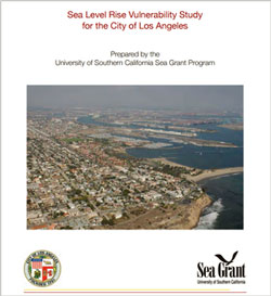
Climate change is predicted to exacerbate sea level rise. In turn, sea level rise is predicted to expedite beach erosion and increase the chances of bigger floods and higher tides. The City of Los Angeles has initiated research on sea level rise with USC's Sea Grant Program. In summary, Venice's runoff and sewage collection system, building stock, and roads are highly vulnerable. However, they are also adaptable, and with preparation and willingness to address issues, the City can reduce the consequences of sea level rise.
Sign up for our mailing list to receive notifications of upcoming public outreach events.
Current Events
LA City Planning Pop-Up Outreach Event - CicLAvia Venice Blvd. Sunday April 21, 2024 (9am-4pm)
The Westside Community Plans and Venice Local Coastal Program (LCP) Teams are excited to announce that we will be joining all the CicLAvia enthusiasts on Sunday April 21, 2024 on Venice Boulevard!
LA City Planning will be hosting a booth from 9am-4pm at the Venice Beach Hub, located at 121 Windward Ave., Venice CA 90291.
Please come by City Planning’s booth to meet staff and learn more about Planning the Westside and Local Coastal Program update efforts. Look forward to seeing you there!
Venice Neighborhood Council Hosts Special Presentation From LA City Planning: Venice Planning 101
November 14, 2023
Los Angeles City Planning is excited to announce that we have been invited to kick off the Venice Neighborhood Council meeting on Tuesday November 14, 2023 with a special presentation.
City Planning will present ‘Venice Planning 101’, an educational presentation for those interested and curious about City Planning processes and programs.The presentation will provide an overview of the role of the City Planning department in the project review process and provide a high level introduction to the Venice Community Plan and the Venice Local Coastal Program (LCP) Updates. Please note that future presentations in 2024 will provide more detail on the LCP and Community Plan Update zoning and land use drafts and public input process.
The event will begin at 6:30PM, 11.14.23, at Westminster Elementary School, 1010 Abbot Kinney Blvd, Venice, CA 90291
Venice Branch Library Open House
June 24, 2023
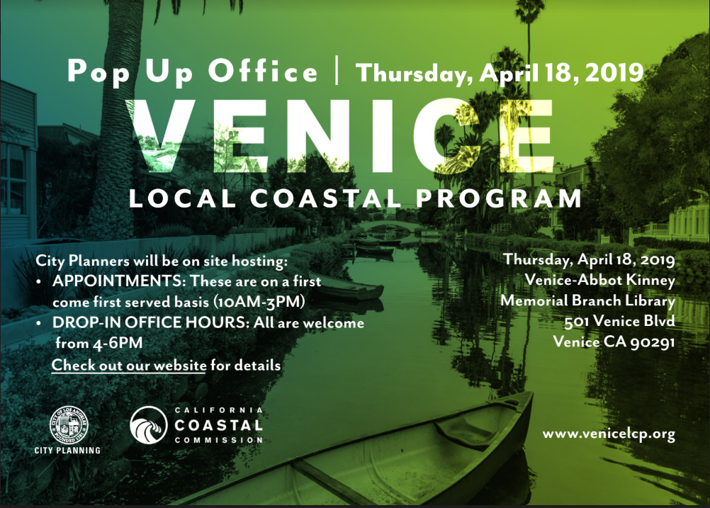
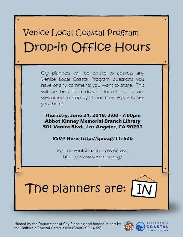
Los Angeles City Planning (City Planning) is continuing our in person outreach for the Venice Local Coastal Program (LCP), with staff attending the the Venice - Abbot Kinney Memorial Branch Library Open House on June 24 at 501 S. Venice Boulevard, Venice, CA 90291 from 11:00 a.m. to 2:00 p.m.
Please come on by City Planning’s booth at the Venice - Abbot Kinney Memorial Branch Library Open House to learn more and talk to staff in person.
We look forward to seeing you soon and thank you for your continued interest in the Venice LCP update process.
Contact Us
Email Address
VeniceLCP@lacity.org
Phone Numbers
Laura MacPherson | (213) 978-1187
Natasha Kumar | (213) 978-1203
Physical Address
City Hall
200 N. Spring St.
Los Angeles, CA 90012
Your contributions are valuable to this coastal planning process! Get notified of public outreach events by filling in your name and email below.
Feel free to leave us a comment or a question and we'll get back to you!
