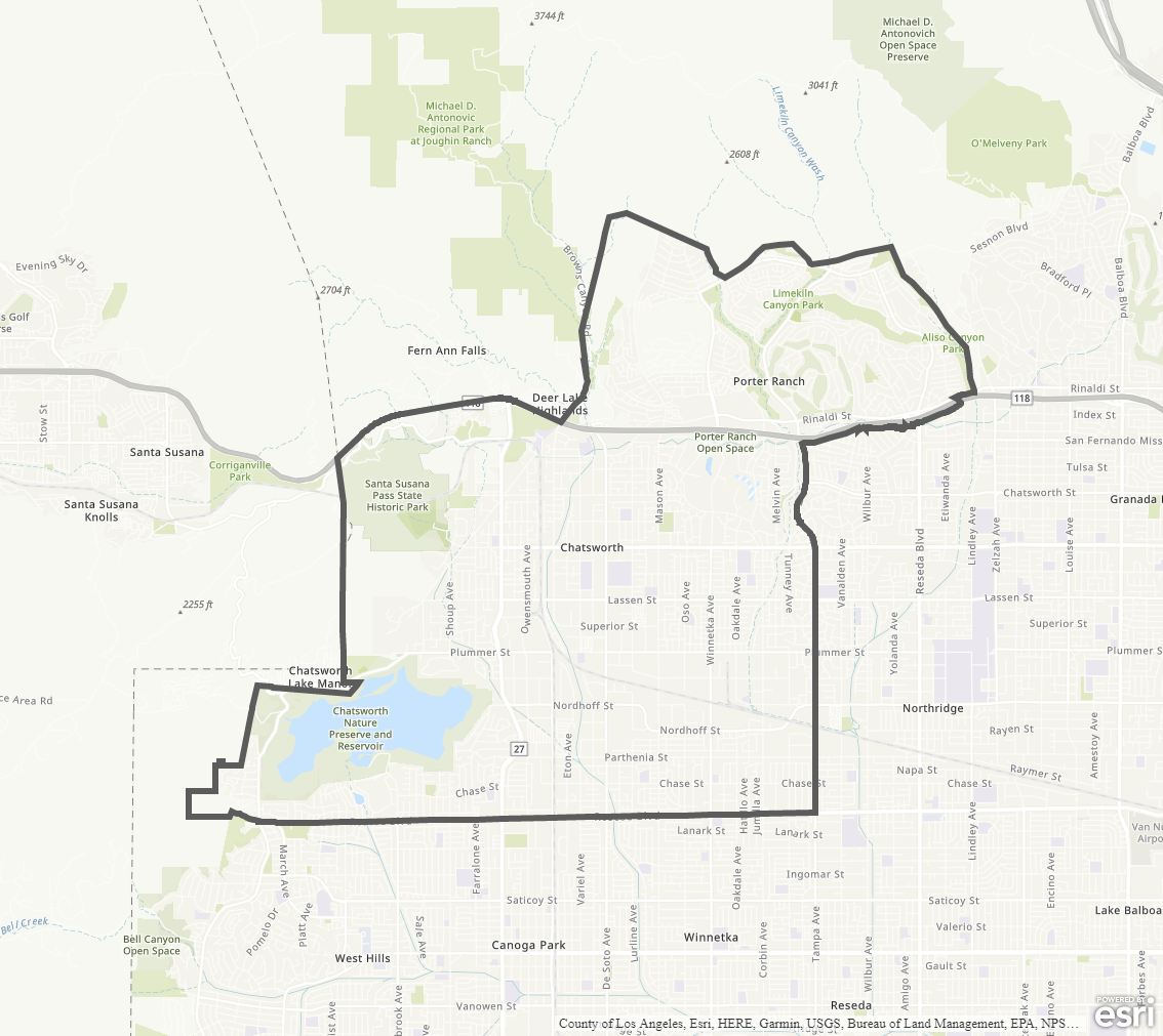
Chatsworth - Porter Ranch Community Plan
Staff Contact: Project Review
Olga Ayala
(818) 374-5042
olga.ayala@lacity.org
Correy Kitchens
(818) 374-5034
correy.kitchens@lacity.org
Renata Ooms
(213) 978-1222
renata.ooms@lacity.org
Olga Ayala
(818) 374-5042
olga.ayala@lacity.org
Correy Kitchens
(818) 374-5034
correy.kitchens@lacity.org
Renata Ooms
(213) 978-1222
renata.ooms@lacity.org
Staff Contact: Plan Policies
Lucy Martinez (818) 374-5058
lucy.martinez@lacity.org
General Information:
Valley Public Counter: (818) 374-5050

The Chatsworth-Porter Ranch Community Plan was last updated in 1993.
The Community Plan Area includes the neighborhoods of Chatsworth, Porter Ranch, as well as Santa Susana Pass Historic Park and Chatsworth Nature Preserve and Reservoir.