Westwood Community Plan
Staff Contact: Project Review
Jackson Olson (213) 978-1381
jackson.olson@lacity.org
Jackson Olson (213) 978-1381
jackson.olson@lacity.org
Staff Contact: Plan Policies
Kiran Rishi
kiran.rishi@lacity.org
General Information:
West Los Angeles Public Counter: (310) 231-2598
The Westwood Community Plan was last updated in 1999.
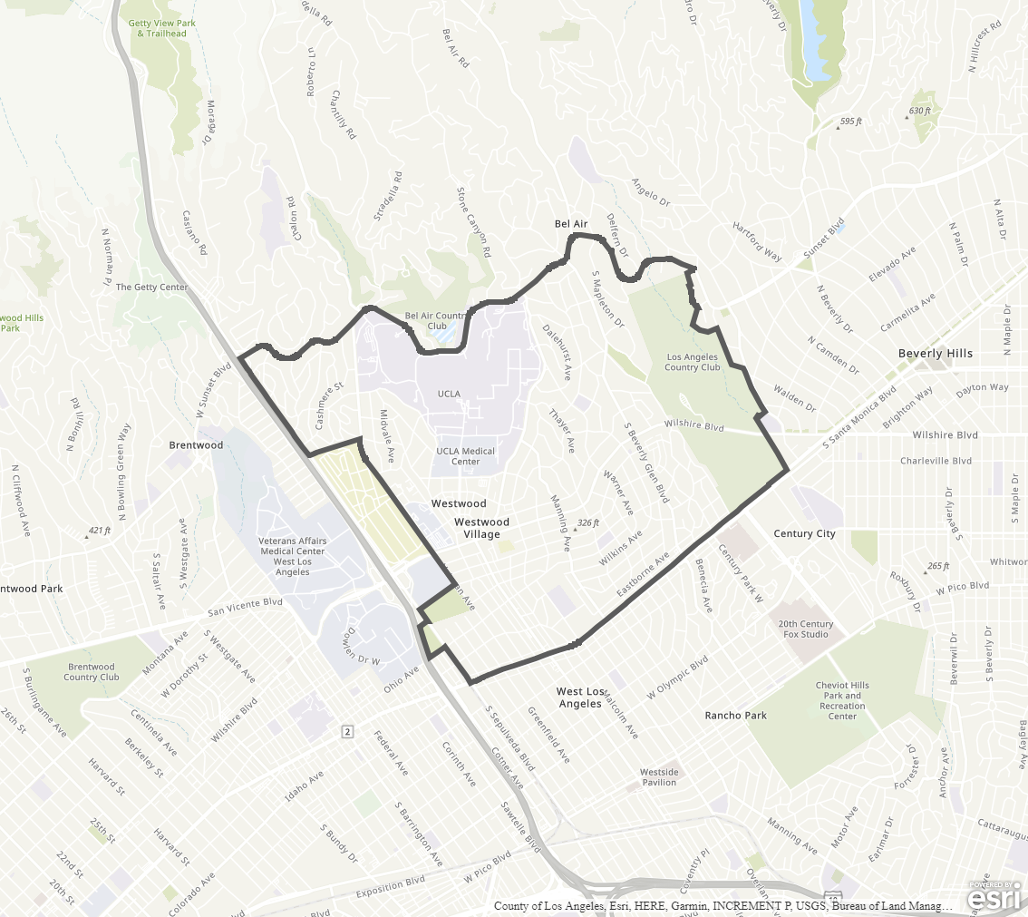
The Community Plan area includes the neighborhoods of Westwood, Westwood Village, North Westwood Village, and the University of California, Los Angeles campus.
Adopted Maps
These maps represent official documents that were approved by the City Council. These commonly show land and development rules and regulations by graphic representation.
Interactive Maps
These maps have multiple layers that can be selected to show resources, landmarks, government faculties and services, and other information that is pulled from multiple sources.
Informational Maps
These maps are for informational purposes only.