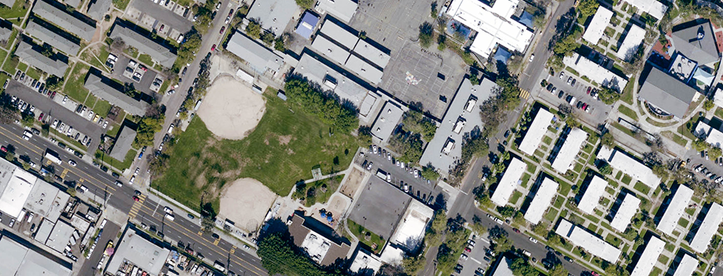
How does ZIMAS work?

Supporting its portfolio of transparent, easy-to-access services, City Planning maintains the Zone Information and Map Access System, or ZIMAS, to allow individuals to learn more about the City’s neighborhoods and assist residents and businesses in making better informed land use decisions.