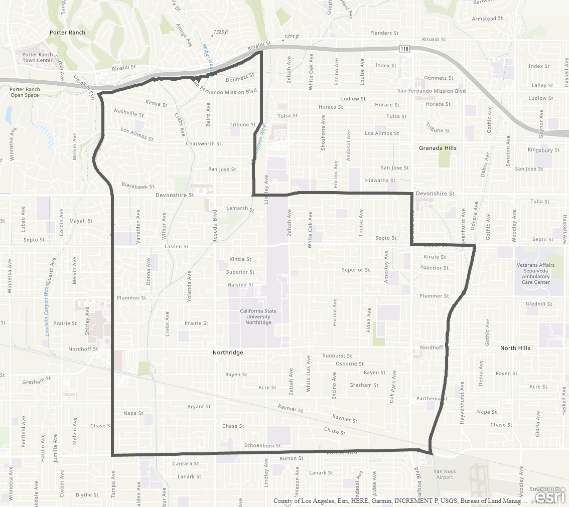
Northridge Community Plan
Staff Contact: Project Review
Olga Ayala
(818) 374-5042
olga.ayala@lacity.org
Correy Kitchens
(818) 374-5034
correy.kitchens@lacity.org
Renata Ooms
(213) 978-1222
renata.ooms@lacity.org
Olga Ayala
(818) 374-5042
olga.ayala@lacity.org
Correy Kitchens
(818) 374-5034
correy.kitchens@lacity.org
Renata Ooms
(213) 978-1222
renata.ooms@lacity.org
Staff Contact: Plan Policies
Miguel Hernandez (818) 374-5066
miguel.hernandez@lacity.org
General Information:
Valley Public Counter: (818) 374-5050

The Northridge Community Plan was last updated in 1995.
The Community Plan Area includes the neighborhoods of Northridge and Sherwood Forest.