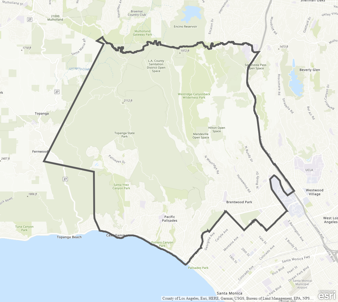
Brentwood - Pacific Palisades Community Plan
Staff Contact: Project Review
Kenton Trinh (213) 482-7092
kenton.trinh@lacity.org
Brenden Lau (213) 978-1162
brenden.lau@lacity.org
Kenton Trinh (213) 482-7092
kenton.trinh@lacity.org
Brenden Lau (213) 978-1162
brenden.lau@lacity.org
Staff Contact: Plan Policies
General Information:
West Los Angeles Public Counter: (310) 231-2598
Planning.PalisadesRebuild@lacity.org

The Brentwood - Pacific Palisades Community Plan was last updated in 1996.
Community Plan Document
Adopted Maps
These maps represent official documents that were approved by the City Council. These commonly show land and development rules and regulations by graphic representation.
Interactive Maps
These maps have multiple layers that can be selected to show resources, landmarks, government faculties and services, and other information that is pulled from multiple sources.
Informational Maps
These maps are for informational purposes only.