Brentwood - Pacific Palisades Community Plan

Staff Contact: Project Review
Kenton Trinh (213) 482-7092
kenton.trinh@lacity.org

Brenden Lau (213) 978-1162
brenden.lau@lacity.org

Staff Contact: Plan Policies

-

General Information:

West Los Angeles Public Counter: (310) 231-2598

Palisades Fire build and recover icon

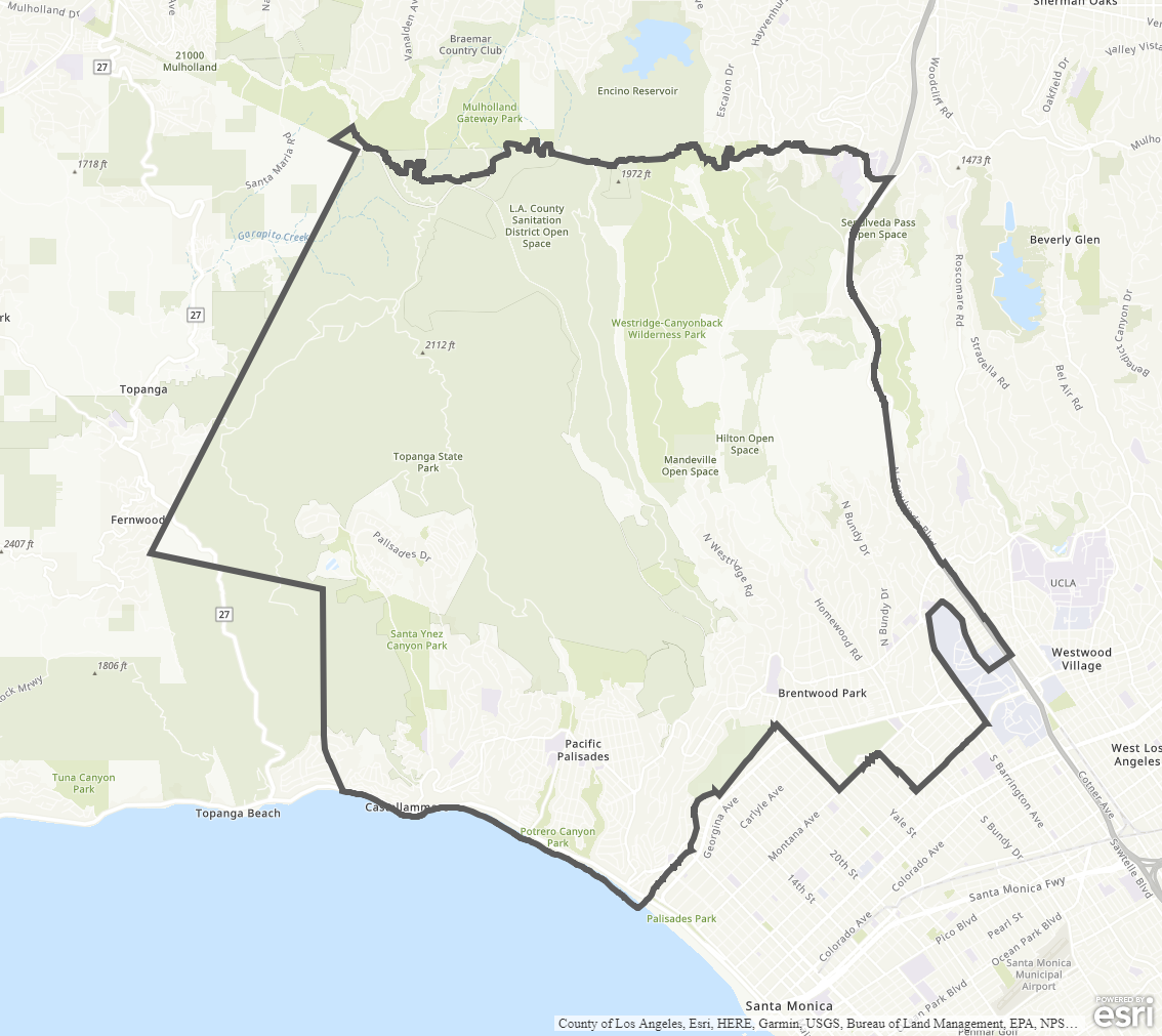
Community Plan Boundary Map


The Brentwood - Pacific Palisades Community Plan was last updated in 1996. It is anticipated that the Department will begin a plan update process in 2021 (approximate).

  • Community Plan Document

Adopted Maps

These maps represent official documents that were approved by the City Council. These commonly show land and development rules and regulations by graphic representation.

  • General Plan Land Use
  • Circulation

Interactive Maps

These maps have multiple layers that can be selected to show resources, landmarks, government faculties and services, and other information that is pulled from multiple sources.

  • Interactive Maps

Informational Maps

These maps are for informational purposes only.

  • Economic Development Areas
  • Commercial and Industrial Zones
  • Generalized General Plan Land Use
  • Specific Plan Areas
  • Generalized Zoning
  • Brentwood / Pacific Palisades (Dual Coastal Plan Zone)
  • Mulholland Scenic Parkway (Specific Plan)
  • Pacific Palisades Commercial Village and Neighborhood (Specific Plan)
  • San Vicente Scenic Corridor (Specific Plan)
  • West Los Angeles Transportation Improvement and Mitigation Specific Plan (Specific Plan)
  • Westwood Community Design Review Board (Specific Plan)
  • Westwood Community Multi-Family (Specific Plan)